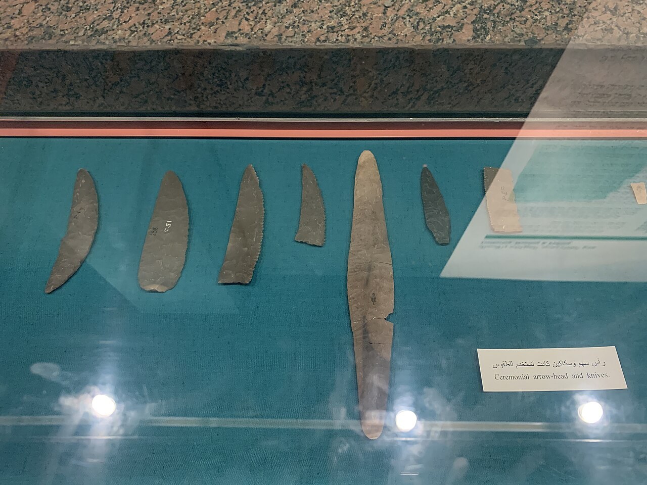
The Nubia Museum reorganizes evidence around a region whose histories cross modern borders, river routes and several political centers. It also connects archaeology with monument rescue, displacement and living communities.
Read the map before the object
Check north, river direction, modern borders, ancient place names and the date represented. A map centered on Cairo can make Nubia peripheral; a regional river map reveals other settlements and routes. Compare at least two maps when political boundaries or modern infrastructure answer different questions.
Give regional states their own chronology
Interaction with dynastic Egypt matters, but it is not the sole measure of Nubian history. Use labels for local political centers, burial practices, materials and titles. Similar artistic forms can reflect diplomacy, adaptation, shared traditions or political claim; they do not automatically prove one-way influence.
Trace objects in both directions
Material, technique and image moved along the Nile and across desert routes through trade, tribute, migration and control. Separate place made, place found and place used when the evidence allows. Calling an object “Egyptian” or “Nubian” should not erase a route that involved several communities.
Use royal images to test overlapping identity
Twenty-Fifth Dynasty objects connect Nubian rulers with Egyptian kingship and wider political authority. Read titles, pose, findspot and display context together. A simple foreign-versus-native model cannot explain how a ruler could use established forms while making a specific regional and dynastic claim.
Hold rescue and displacement in one account
The international campaign to save Nubian monuments records major cooperation, documentation and engineering. Dam construction also transformed landscapes and displaced Nubian communities. Preservation success and human cost are not mutually exclusive interpretations. Identify whether a display speaks through archaeological records, institutional history or community testimony.
Distinguish original, relocated and reconstructed context
A rescued monument may preserve ancient fabric in a new orientation and landscape. Models and photographs can restore lost relationships, but they select viewpoint and date. Locate original and current sites, then ask which environmental, architectural and community relationships could not be moved with the stone.
Keep living culture dated and voiced
House forms, language, music, clothing and craft continue to change. Look for maker, community voice, date and acquisition route rather than reading modern displays as timeless survivals. Archaeological identity and living Nubian culture can be connected without claiming one is an unchanged remnant of the other.
Compare indoor case and outdoor setting
Garden or open-air elements change scale, light and relationship to terrain. They also raise different conservation and access conditions. Compare what becomes easier to understand outside and what documentation remains necessary. Confirm the outdoor route and physical conditions before relying on it for a specific visit.
Notice whose voice explains the region
An archaeological label, rescue-campaign record and contemporary community account speak from different positions. Identify the institution or named person behind a statement and the date it was recorded. These voices can complement or challenge one another. Keeping authorship visible prevents a single official chronology from standing in for every experience of landscape change, identity and preservation.
Primary sources reviewed 28 July 2026: Nubia Museum ↗ · UNESCO Nubian Monuments ↗. Displays and visitor conditions may change.